Services
The Jamaica Bauxite Institute (JBI) provides a wide range of services to bauxite and alumina companies, the government, private businesses and individuals. These include but not limited to:
The objectives of the Process Monitoring and Services Division are the efficient recovery and cost effective production of alumina from bauxite while ensuring the management of the environment for the greatest benefit of the Jamaican people.
This includes:
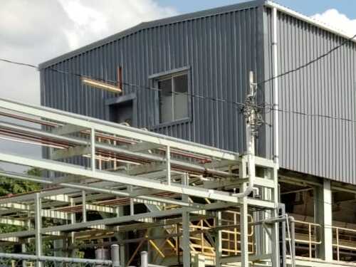
- Monitoring and evaluation of the performance of the bauxite and alumina refining plants.
- Technological testing of bauxites both at the laboratory and pilot plant scales.
- Research on the issues in processing bauxites
Research on processes and products developed to improve the efficiency of Bayer alumina plants and pilot tests of such processes and products. - Environmental monitoring and pollution control in the bauxite and alumina industry with regard to air quality, water quality and waste disposal. This is executed through a memorandum of understanding with the National Environment and Planning Agency.
Air dispersion modeling.
Research on the environmental impact of the bauxite and alumina operations. - Technical review of new projects inclusive of environmental impact assessment, closure plan and compliance plans.
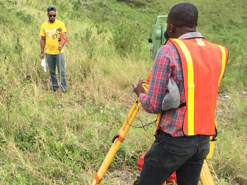
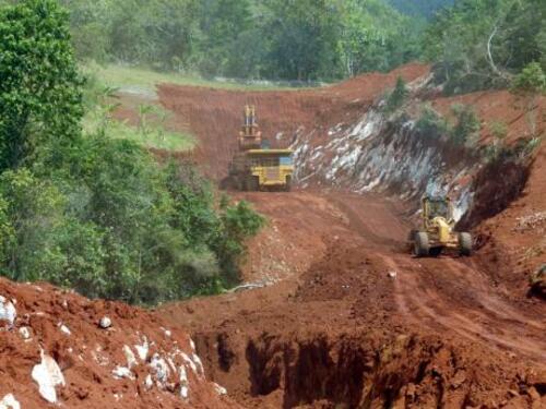
The JBI conducts exploration programmes in an effort to expand the database of knowledge about Jamaica’s bauxites. This includes surveying/mapping of deposits, drilling and collection of samples at specified intervals, chemical analyses, and the production of maps and reports pertaining to the particular area. The broad objective is to characterize the nature of Jamaican bauxite deposits, which in many ways are unique in the world, and to facilitate further development of the resource by the industry.
Research is a major function of the Jamaica Bauxite Institute. The research capability of the Bauxite Lands Division of the Jamaica Bauxite Institute is generally one of the less publicized functions of the Institute. Research is undertaken into a wide range of subjects pertaining to bauxite property management, agricultural development of reclaimed lands, agronomic assessments, needs assessment for project development as well as socio-economic research of communities within mining areas. Research is undertaken with a view to better plan for present and future development of communities within mining areas, as well as to assist the bauxite companies with social and economic descriptions of communities to be mined. The focus to date of research of the Bauxite Lands Division is on the assessment of present agricultural land utilization and agricultural productivity of lands in bauxite lease areas in Jamaica.
The Analytical Services division also engages in research which seeks to enhance the lifetime of Jamaica’s bauxite reserves.
The main issues currently impacting the processability of Jamaican Bauxite Reserves:
- Extensive deposits of poor-settling yellow goethite (goethite = iron mineral) bauxites.
- Deposits containing high levels of soluble phosphorous as well as goethite.
The Cartographic Unit of the JBI was established in January 1976. At that time, it relied heavily on the production of high quality hand drawn bauxite reserves and property maps by draftsmen using pen and ink at light tables. The unit has evolved over the years both in terms of it activities and the technology used, in response to the demands of the local and international bauxite industry.
The work of the Cartography Unit now centres on the production and manipulation of digital data to support the work of the Bauxite Land and the Reserves Divisions. The main activities of the JBI’s cartography unit are property and reserves mapping and assessment, the mapping and analysis of exploration work, and general map production. The unit uses IKONOS imagery and GIS and Computer Aided drafting software to facilitate the data analysis and the production of maps. It operates a number of computers, digitizers and plotters in carrying out these tasks.
The unit is currently heavily occupied digitizing orebody maps (drill maps) from survey data obtained from the North Manchester Exploration Project. Assay data obtained from the laboratories are added to these maps and transformed to the JAD2001 coordinate system.
The Cartography Unit operates under the expert guidance of a highly skilled Chief Cartographer who has been in charge of the unit since September 1976. The unit has a reputation for precise mapping of a high quality and has been a fertile training ground for a number of cartographers who have excelled both internationally and locally.


